Examples

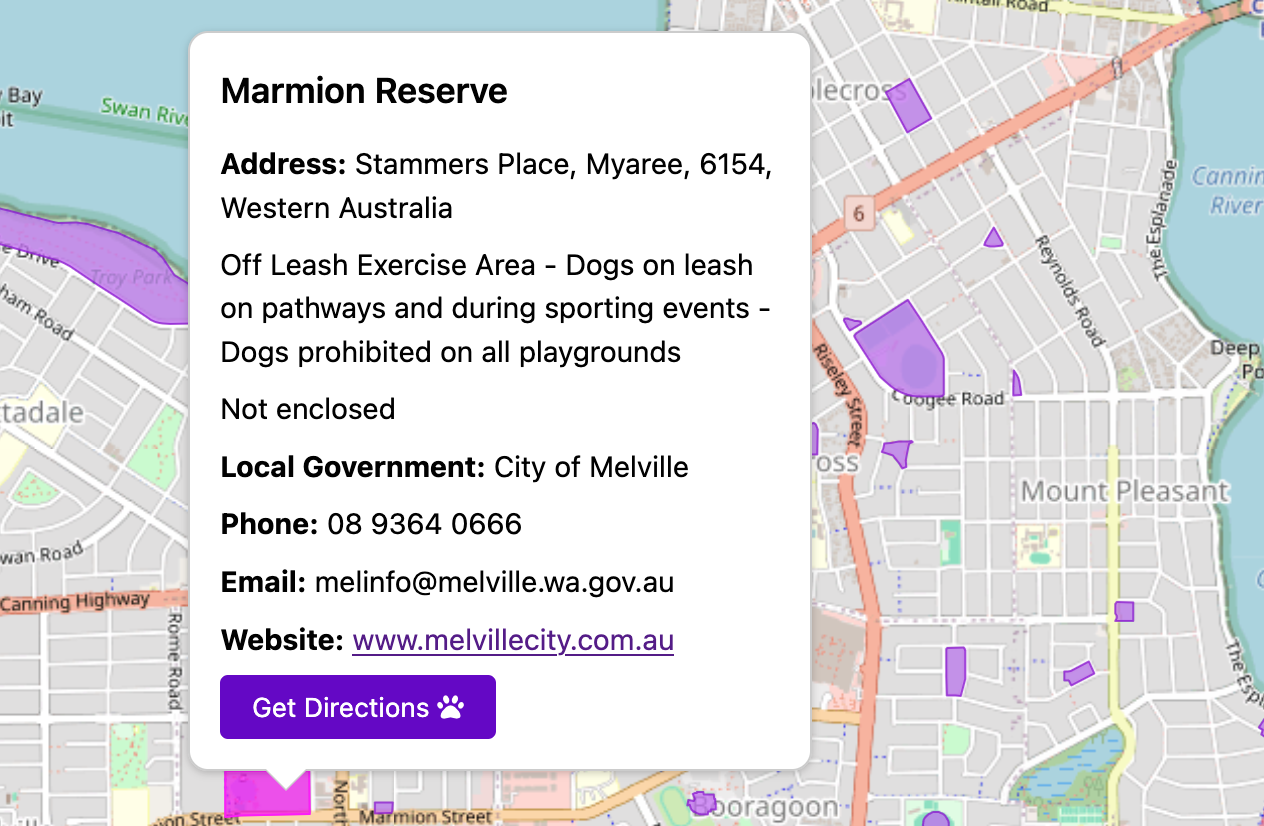
Places of Interest Web Map — Shire of West Arthur

Interactive map of visitor attractions for a regional WA shire. Built to demonstrate how councils can present places of interest in a clear, user-friendly format. Data sourced from the Shire's website, with links to Google Maps for directions and Trails WA for more information.

Open full map →

Grant Application Context Maps — Coolbellup Shops

Static maps showing road safety data and walkable catchment for a local streets improvement project. Designed to support grant applications by providing clear spatial context for decision-makers.

Coolbellup Shops Road Safety Context Coolbellup Shops Walkable Catchment

PARKHOUND — Dog Park Finder

Web mapping application for finding dog parks across Perth. Data sourced from council APIs and manually digitised from PDF maps, cleaned and enriched with details like enclosure status. Built with OpenLayers and deployed on GitHub Pages.

PARKHOUND Dog Park Finder screenshot

View PARKHOUND →